As the old Chinese saying goes, "one should be able to establish himself at the age of thirty." On August 16th, the 29th International Conference on Geoinformatics and the 30th Anniversary of CPGIS sponsored by Chinese Professionals in Geographic Information Sciences (CPGIS) and China University of Geosciences (Beijing) (CUGB) were held in CUGB, which symbolizes that the feelings for home and homeland bridges academia world China and the West. Under the guidance of Professor Gao Song, Chairman of CPGIS, and Professor Lin Hui, Academician of British Academy of Social Sciences, founding and honorary chairman of CPGIS, the conference is jointly organized by the School of Information Engineering of CUGB and the Key Scientific Research Base of the State Administration of Cultural Heritage of Tsinghua University, and co-organized by nine institutions including the Resource Big Data Branch of China Society of Natural Resources.

Conference site
Prof. Lin Hui of the Chinese University of Hong Kong, Dean of the School of Geography and Environment, Jiangxi Normal University, Academician of the Chinese Academy of Sciences; Academician Cheng Qiuming, President of the International Union of Geological Sciences, former President of the International Association of Mathematical Geoscience, Director of the State Key Laboratory of Geological Processes and Mineral Resources, Professor of China University of Geosciences (Beijing); Mr. Yao Huajun, Director of the Department of Science and Technology Development of the Ministry of Natural Resources; Mr. Zhao Jing, Director of the National Remote Sensing Center of the Ministry of Science and Technology; Prof. Shi Peijun, Academician of the International Eurasian Academy of Sciences and President of Qinghai Normal University; Prof. Zheng Lizhong, former Director of the National Remote Sensing Center of the Ministry of Science and Technology; Prof. Zhang Guoyou, Vice Chairman and Secretary-General of the Geographical Society of China; Prof. Shen Lei, Vice Chairman and Executive Secretary-General of the China Society of Natural Resources; Prof. Jing Guifei, former Deputy Director of the National Remote Sensing Center of the Ministry of Science and Technology; Prof. Yu Qi, Secretary-General of the Asia-Pacific Space Cooperation Organization; Party Secretary of CUGB, Prof. Ma Junjie; Vice President Prof. Liu Dameng attended the meeting. Academician Li Deren, Academician of Chinese Academy of Sciences, Academician of Chinese Academy of Engineering, leader of Contemporary Geospatial Informatics in China, pioneer of 3S integrated innovation, strategic scientist of high-resolution Earth observation technology, National "most beautiful Scientist", Professor of Wuhan University; Zhou Chenghu, Academician of Cartography and Geographic information Systems, Chinese Academy of Sciences, Institute of Geographic Sciences and Natural Resources Research, Chinese Academy of Sciences; Guo Renzhong, Academician of Chinese Academy of Engineering, expert on geographic information engineering, President of Smart City Research Institute of Shenzhen University; Gao Song, current chairman of CPGIS and tenured faculty member of University of Wisconsin-Madison; the next president of CPGIS, Prof. Mu Lan of the Department of Geography, University of Georgia, former chairman of CPGIS; Prof. Ye Xinyue of Texas A&M University, former chairman of CPGIS; Prof. Hu Shixiong of Pennsylvania State University; Dr. Tao Chuang, former chairman of CPGIS, founder of Z Ventures Group, founder and chairman of VAYZ; Dr. Guo Qinghua, former chairman of CPGIS and Professor of Peking University, attended the meeting online. The opening ceremony was presided over by Prof. Liu Dameng, Vice President of CUGB.
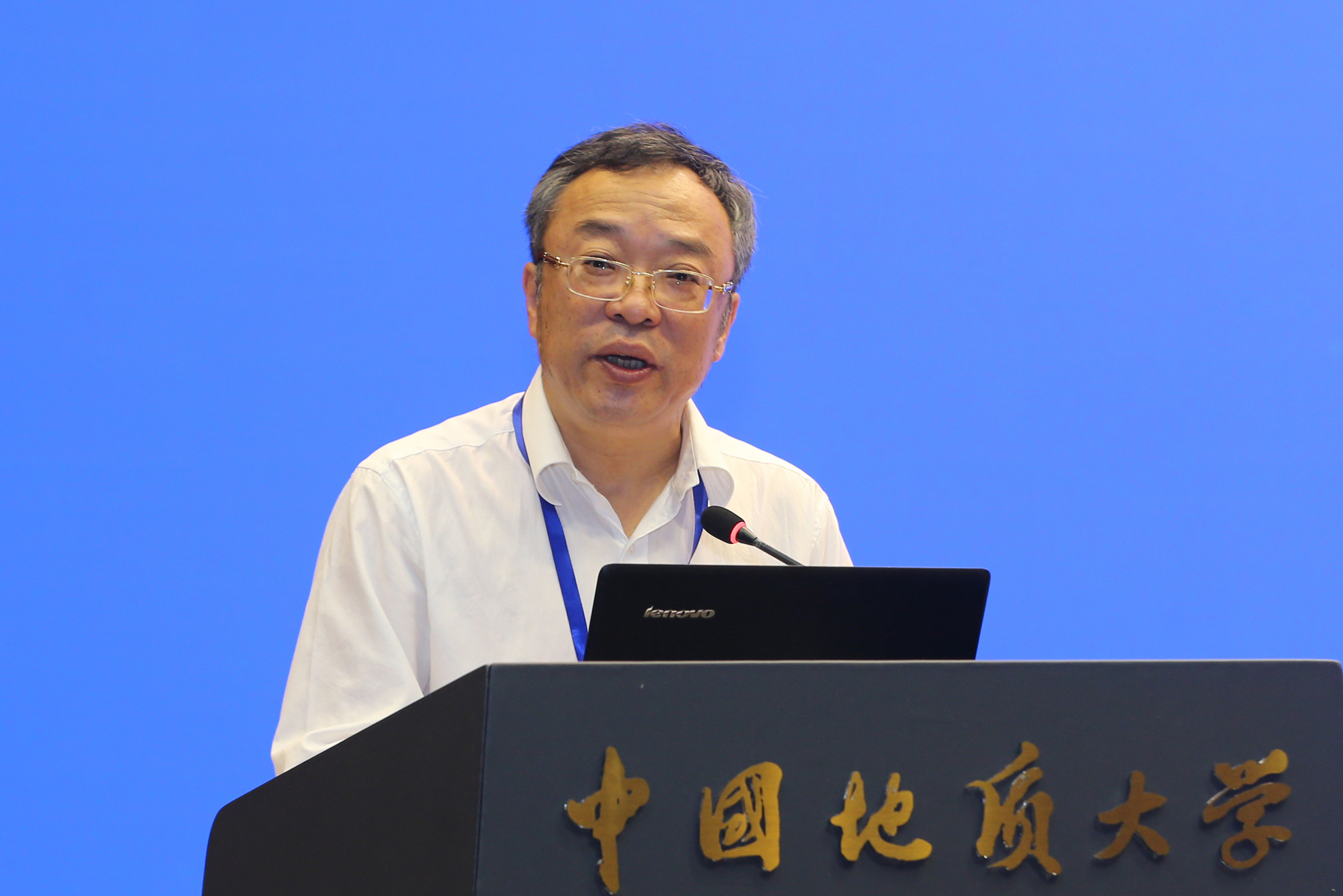
Ma Junjie delivered a speech
Prof. Ma Junjie, Secretary of the Party Committee of our University, delivered a welcoming speech. In his speech he pointed out that the conference is being held at the right time to provide a platform for the exchange of new ideas and cutting-edge technologies among experts, scholars, students and industry practitioners in the field of geographic information science. He hoped that through this conference, experts and scholars attending the meeting can gather together to exchange new ideas, methods, technologies and solutions of geographic information science, and focus on the challenges and opportunities of geographic information science and technology in dealing with the coordinated development of urban and rural areas and high-quality development, which eventually will promote geographic information science to a new level.

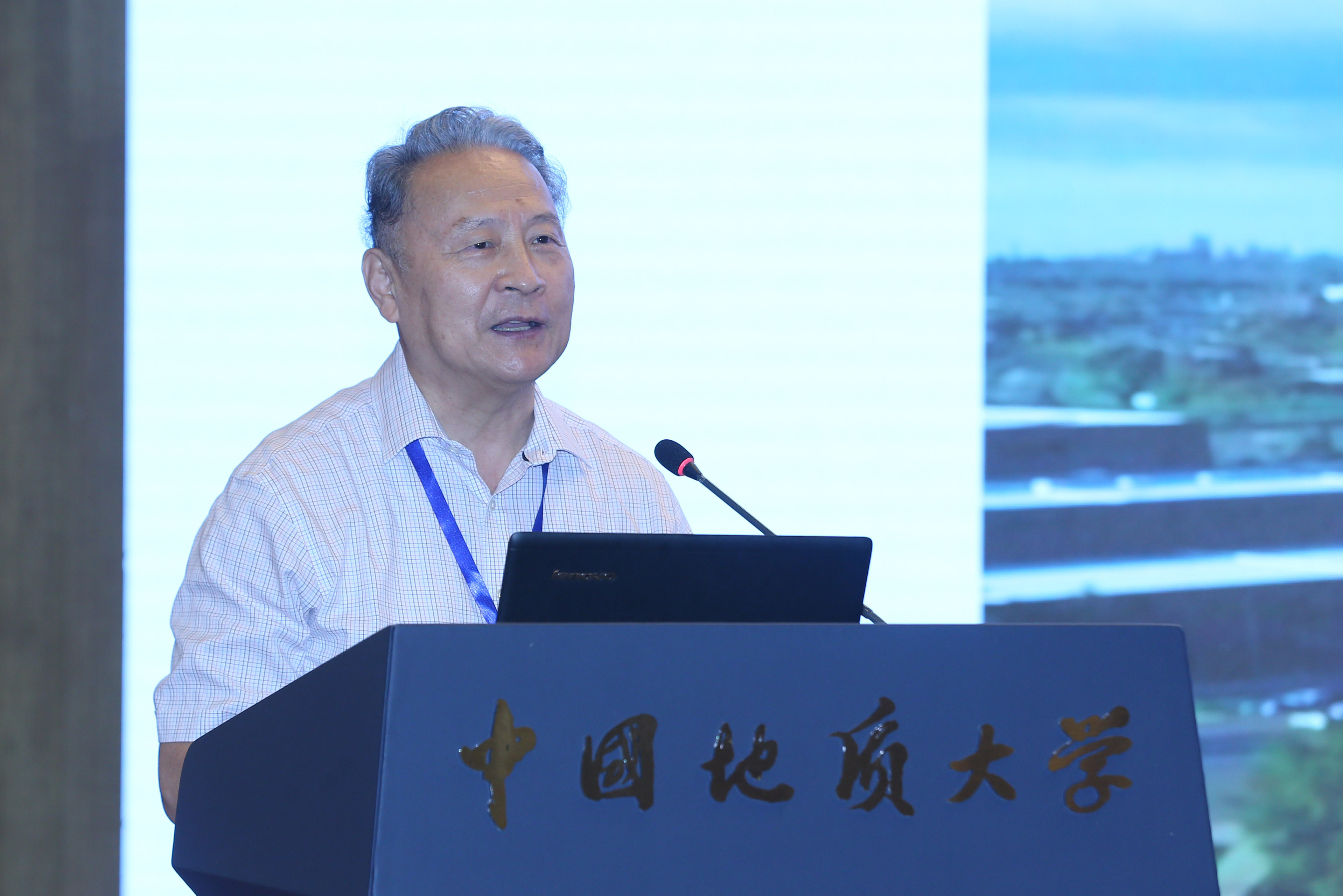
Mr. Zhao Jing, Director of the National Remote Sensing Center of the Ministry of Science and Technology, delivered a speech
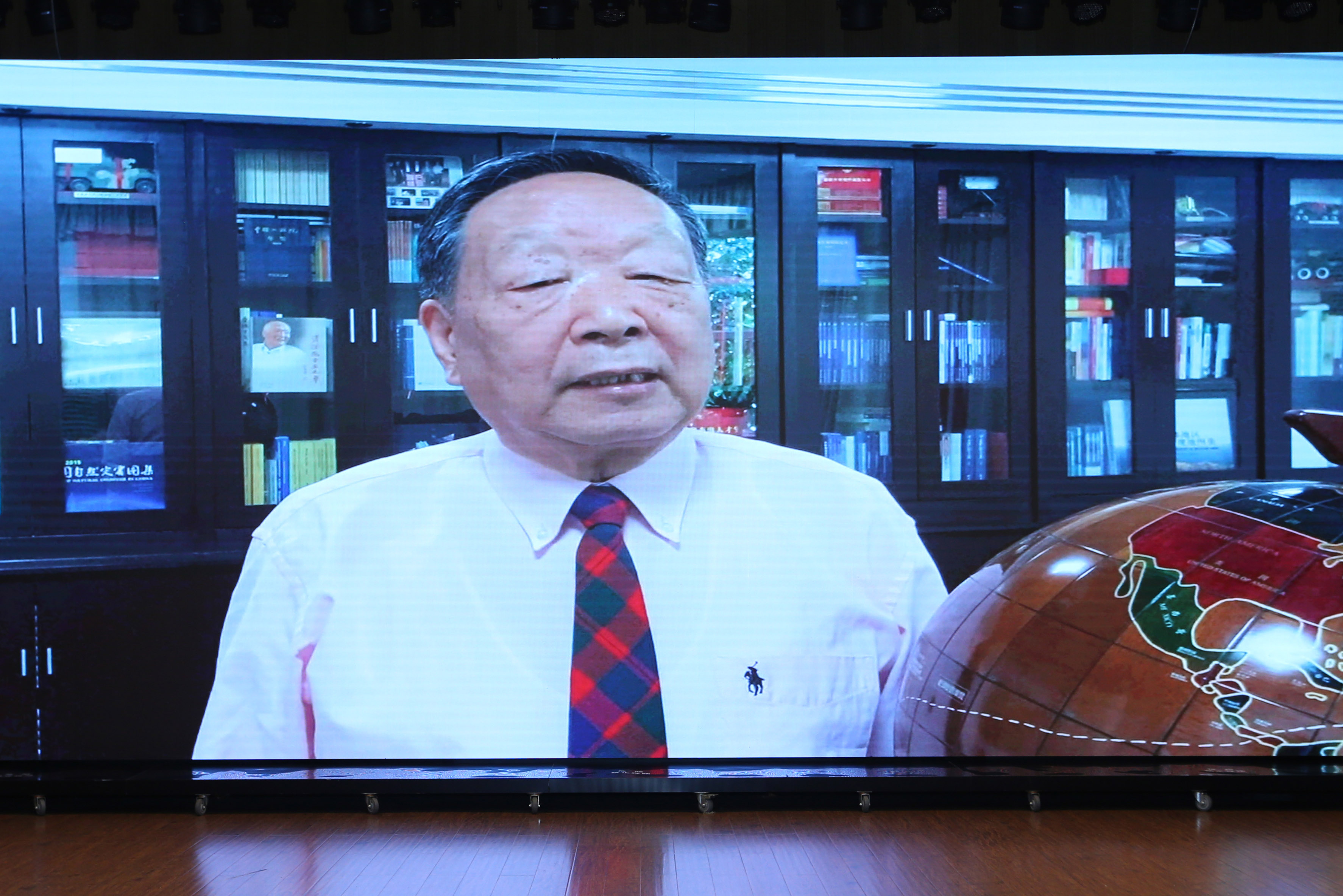
Academician Xu Guanhua, representative of CPGIS Honorary Member, delivered a speech
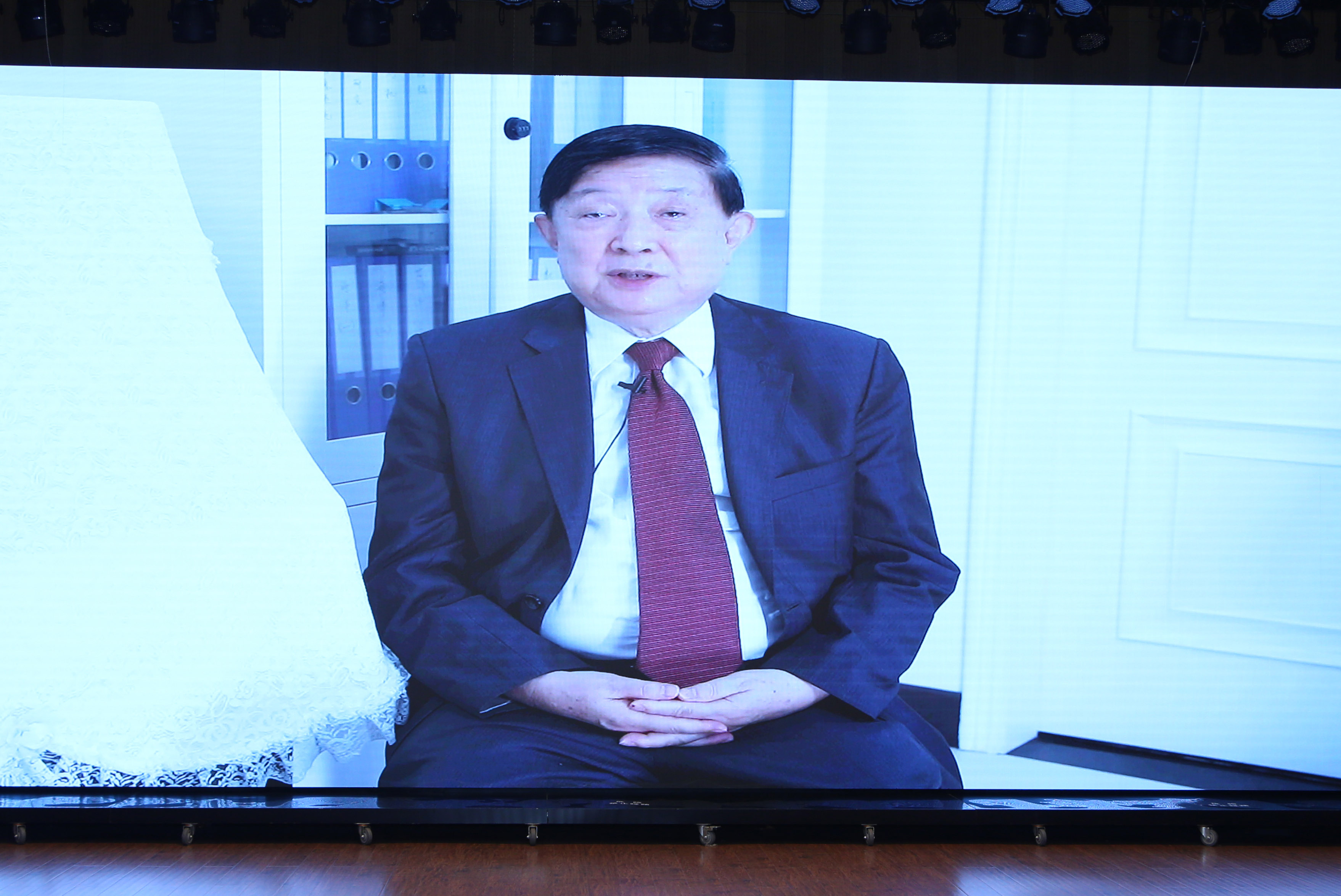
Academician Li Deryan, representative of CPGIS Honorary Member, delivered a speech

Academician Michael Batty, representative of CPGIS Honorary Member, delivered a speech
Academician Lin Hui, founding chairman of CPGIS, delivered a speech
At the opening ceremony, Dr. Zhao Jing, Director of the National Remote Sensing Center, delivered a congratulation speech to the conference. Academicians Xu Guanhua and Li Deren of the Chinese Academy of Sciences, Academicians Batty of the Royal Academy of Sciences of the UK and Academician Lin Hui, honorary president of CPGIS, who attended the founding conference of CPGIS30 years ago, reviewed the development history and brilliant achievements of the CPGIS in the past 30 years. They praised the important influence of CPGIS in the international academia and its unique contribution to the development of geographic information technology and the construction of digital government in China and celebrated the 30th anniversary of CPGIS and a brighter future. The State Key Laboratory of Resources and Environmental Information System of Chinese Academy of Sciences and other key laboratories of the State and the Ministry of Education have sent congratulatory letter to wish the conference a complete success.

Launching ceremony
With the theme of "Geographic Information Technology Empowering the Coordinated Development of Urban and Rural Areas", the conference focused on the challenges and opportunities of geographic information science and technology to meet the coordinated and high-quality development of urban and rural areas. More than 300 experts, scholars and students from over 10 countries, and 100 universities and research institutions have registered to participate in the online and offline academic conference. A total of 11 invited keynote speeches and 16 special sessions of 196 academic reports were organized with tens of thousands of people around the globe watched and participated in this grand international academic exchange activity in the field of geographic information technology online.

Conference site
Keynote speakers included Michael F. Goodchild, Fellow of the National Academy of Sciences USA; Li Deren, Academician of Chinese Academy of Sciences and Chinese Academy of Engineering; Zhou Chenghu, Academician of Chinese Academy of Sciences; Guan Meibao Fellow, British Academy of Social Sciences; Cheng Qiuming, Academician of Chinese Academy of Sciences; Guo Renzhong, Academician of Chinese Academy of Engineering; Junyi Zhang, Academician of Japanese Academy of Engineering (foreign); Lin Shaoyan, Fellow Member of the American Geographical Society; Gong Peng, Academician of International Eurasian Academy of Sciences; Chen Jingming, Fellow of Royal Canadian Academy of Sciences; and Prof. Paul A. Longley of University College London, UK.
The 11 invited keynote reports and 16 special reports of the conference respectively focused on the new ideas, new methods, new technologies and new solutions in the field of geographic information technology to empower the coordinated development of urban and rural areas. Extensive discussions and sharing of geographic information technology were carried out on the latest application and development in fields like environmental remote sensing, cartography and geographic visualization, big data and disaster reduction, sustainable development of urban and rural areas, large data of time and space for urban and rural governance, GIS and cultural heritage protection, virtual geographic environment, GIS and public health, GeoAI and city senses, GIS and social science, geographic information sharing and interoperability.

Group photo
Founded in 1992, the International Chinese Association for Geographic Information Science (CPGIS) is an international academic community organized by a group of Chinese students overseas who bear ideals and love for their hometown and motherland. For 30 years, CPGIS members have returned to motherland to participate in geographic information technology research, education and industrial development in China, and have not only undertaken the important task of developing several state key laboratories in the fields of remote sensing, surveying and mapping, and geographic information, but also actively participated in and presided over major national scientific research programs. Projects like the construction of Poyang Lake Wetland and Watershed Research Base and the Cross-strait Urban GIS forum in China were led and promoted by GPGIS who has played an unique and important role in promoting the process of independent research and development of geographic information software in China. Their footprints spread throughout all provinces, cities and autonomous regions in China, including Hong Kong, Macao and Taiwan, preaching the frontier progress of geographic information technology, training a large number of reserve talents. GPGIS is also committed to the promotion of diversified international cooperation and multidisciplinary collaborative innovation of satellite remote sensing and GIS technology in China.
(News by Wang Yushuang,Photo by Wang Qixiang)

 Address
 E-Mail
 Telephone